NASA's Perseverance Mars Rover
1585 readers
29 users here now
On the plains of Jezero, the secrets of Mars' past await us! Follow for the latest news, updates, pretty pics, and community discussion on NASA and the Jet Propulsion Laboratory's most ambitious mission to Mars!
founded 2 years ago
MODERATORS
1
2
3
4
The Sky Crane after delivering #Perseverance to the Martian ground. Umbilical cut. Ingenuity held tight under the rover's belly. Exactly 4 years ago.
De-bayered, processed EDL_RUCAM RMC: 0.0000 (prelanding) Sol: 0
Credit: NASA/JPL-Caltech/65dBnoise
Source to original image and his post on Mastodon

5
6
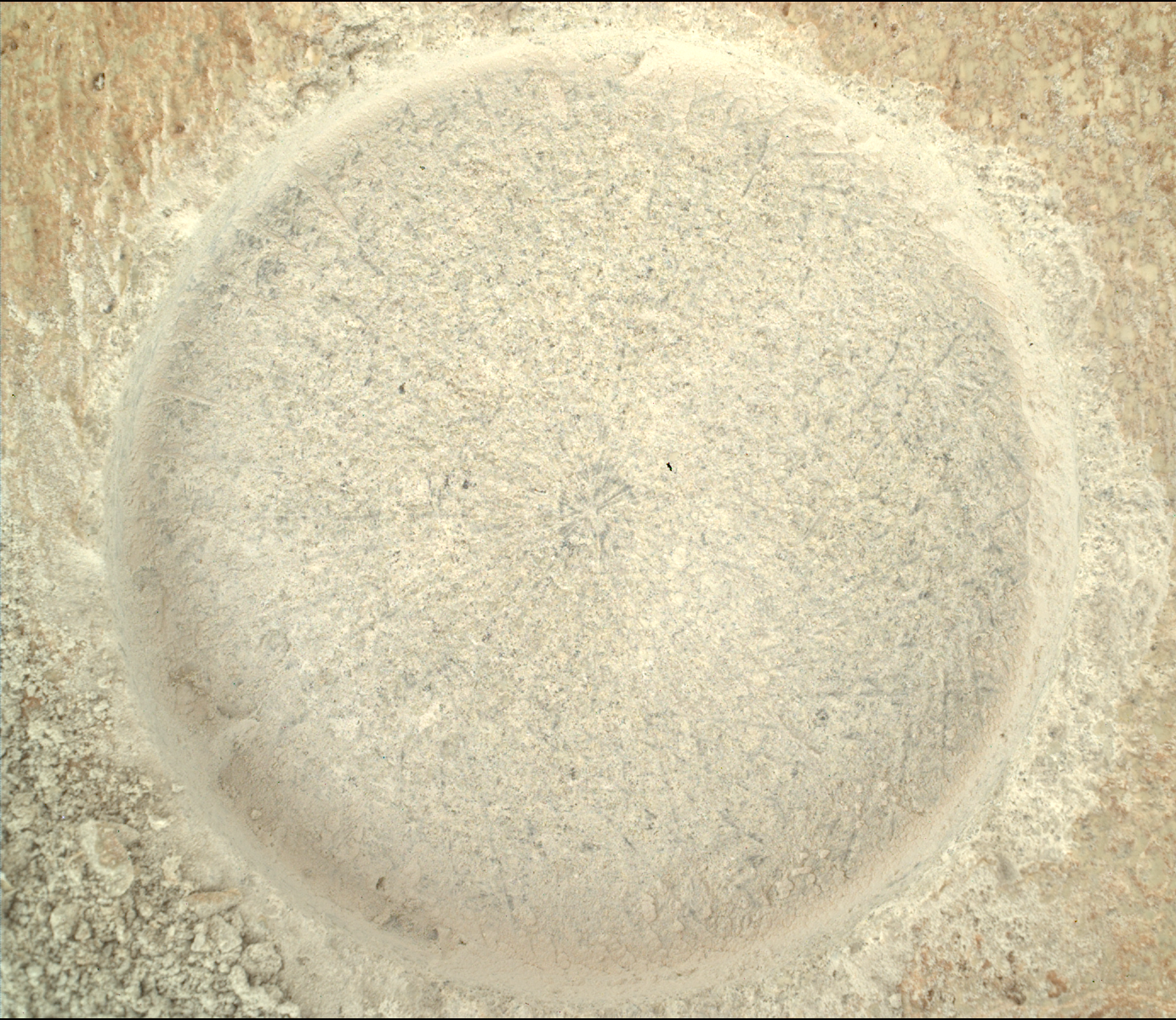
After measurement the sample was pushed deeper into the tube, but it still appears to be a perfectly viable sample
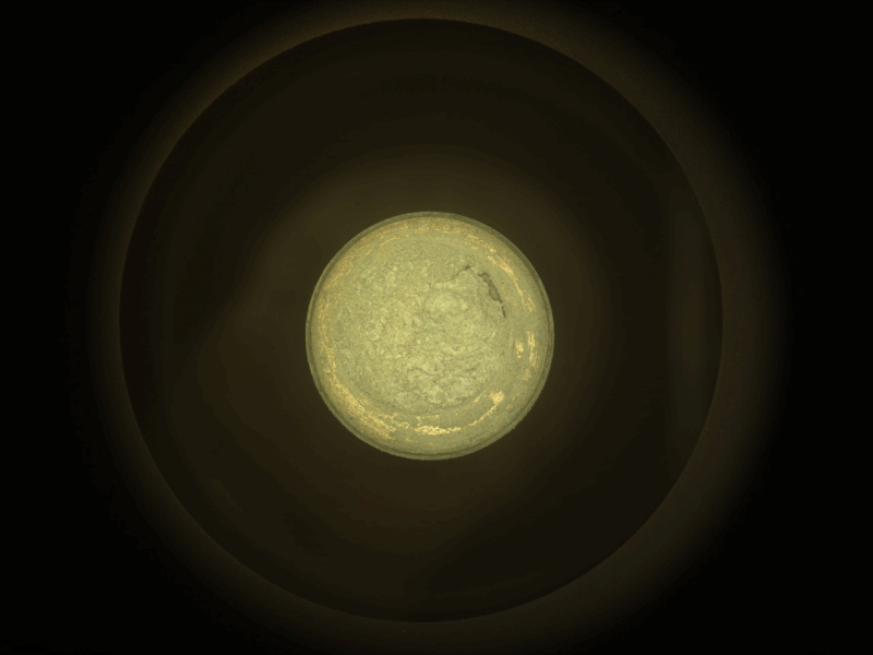
7
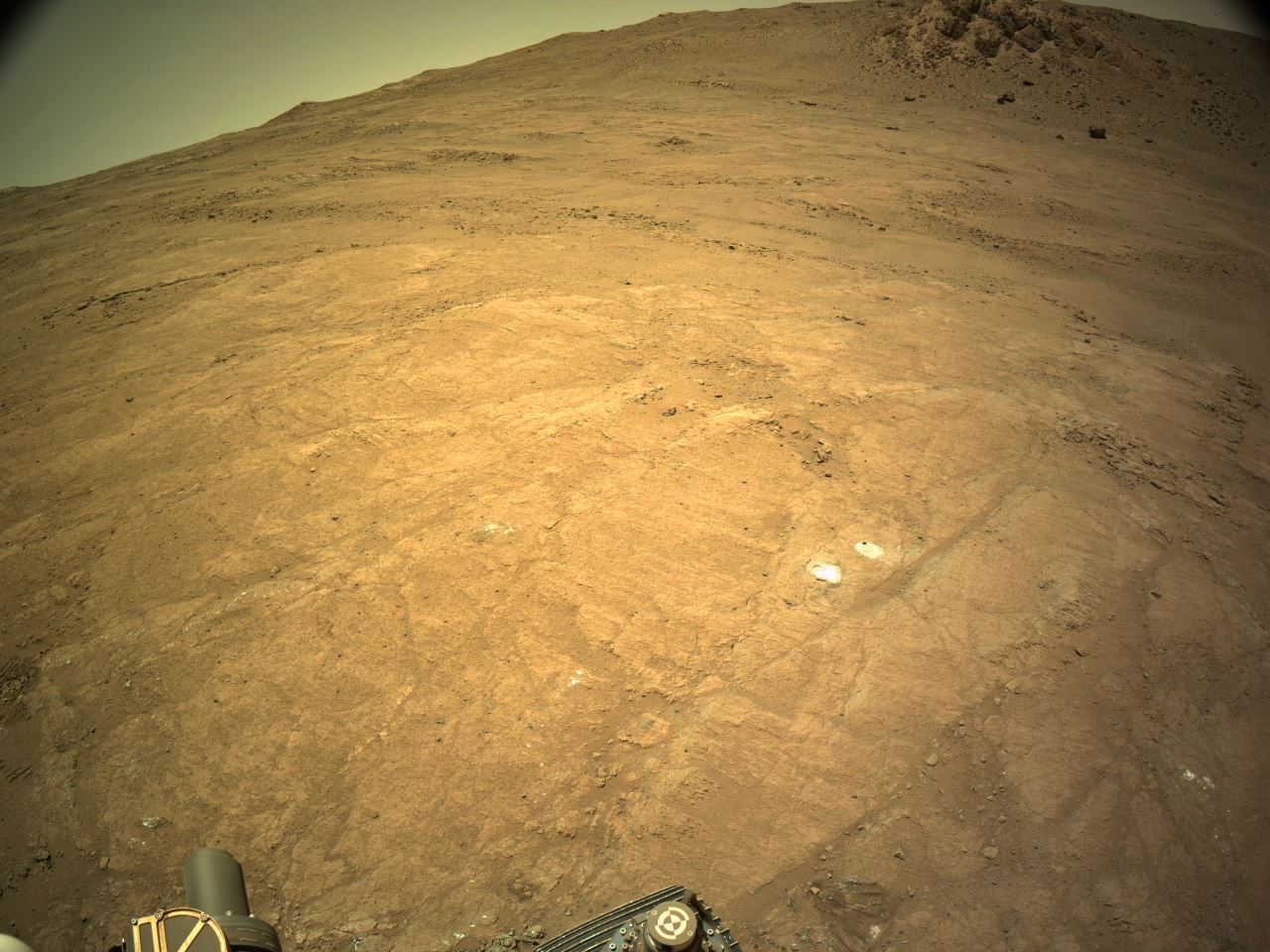
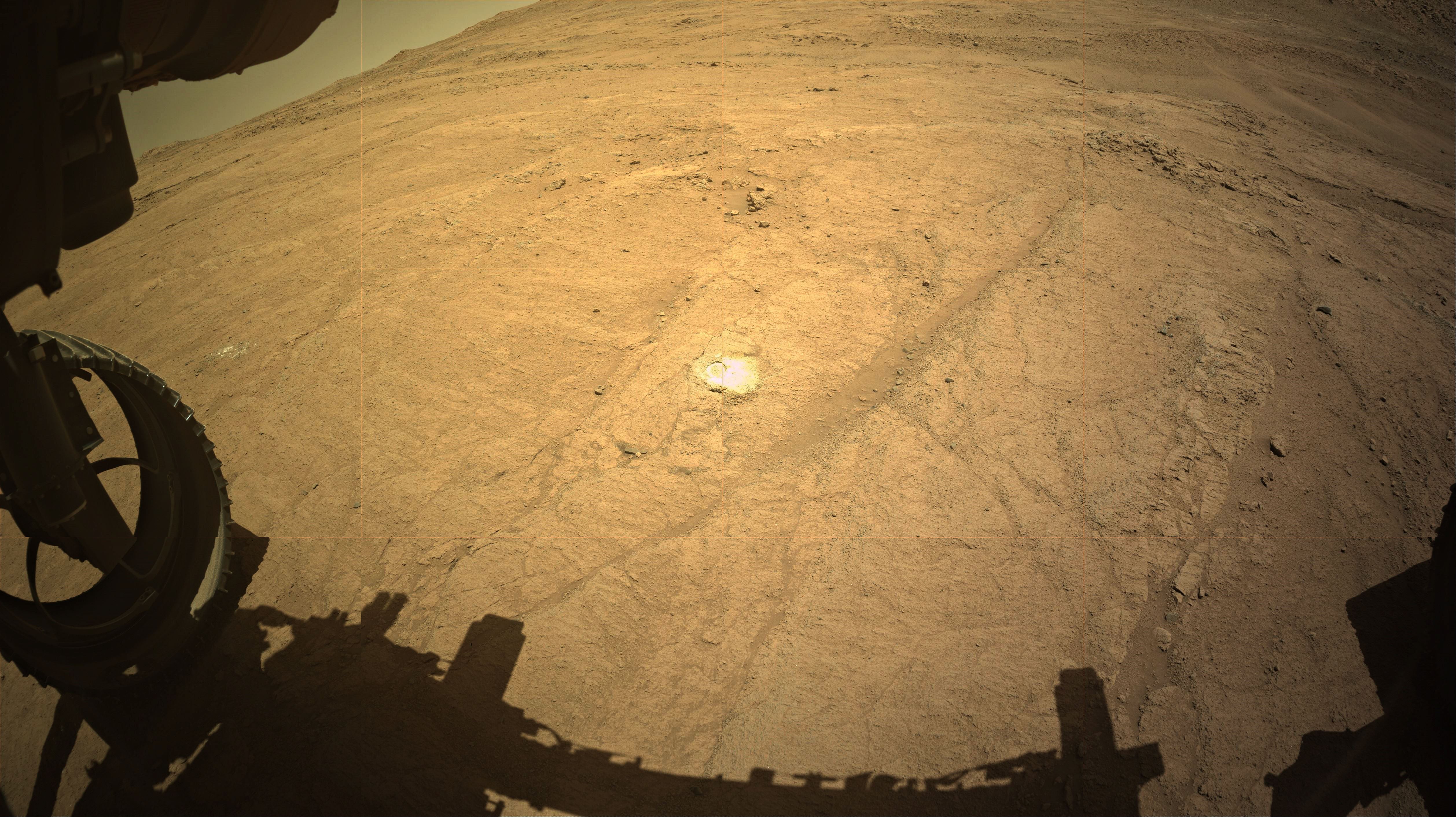
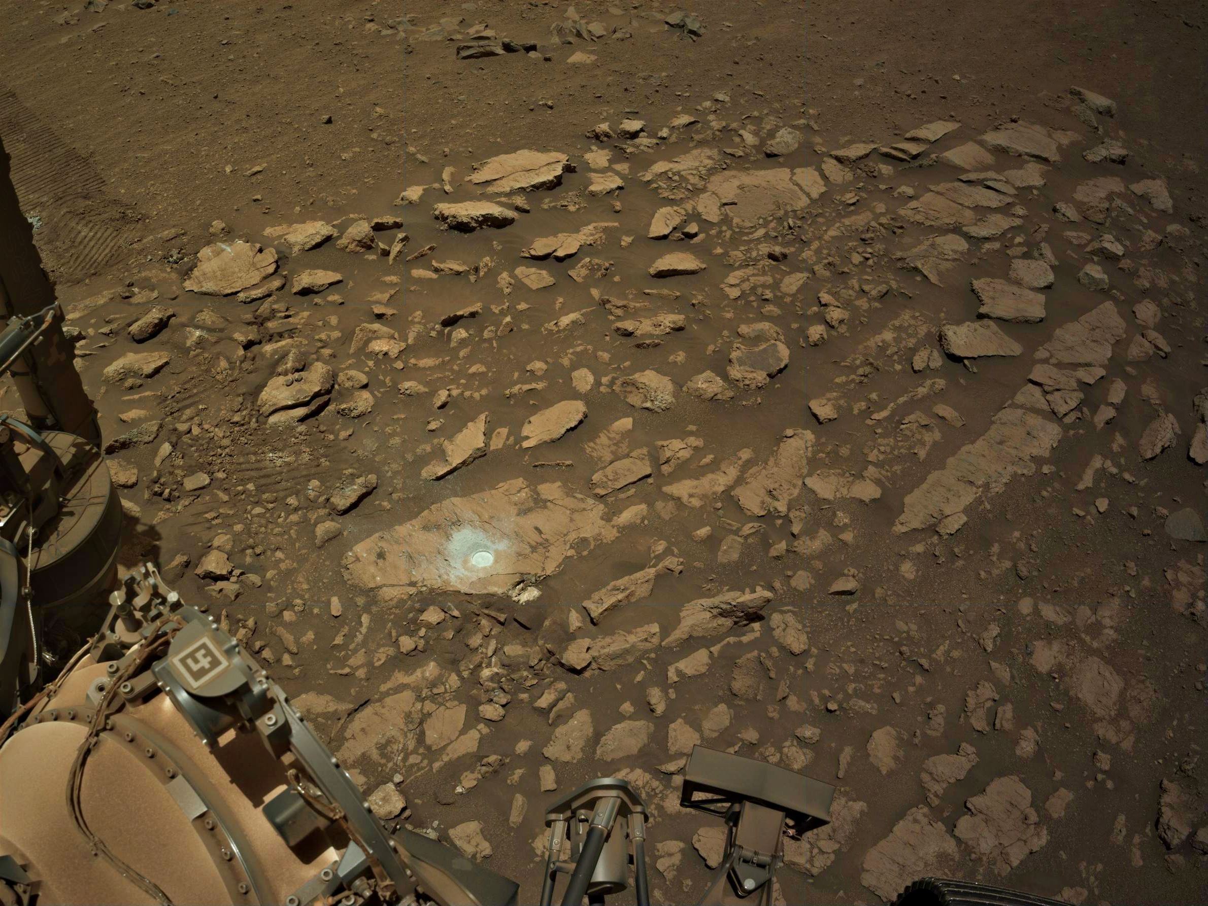
A new sample hole aside an earlier abrasion patch at site 69.0, imaged on Sol 1420 (Feb 17, 2025). This partial Front HazCam was cropped and roughly processed from 2 tiles. More images will arrive soon to provide a wider view. The CacheCam images will be eagerly awaited to see if they managed to retain a rock sample, having lost the rock cores in the last two attempts.
Credits: NASA/JPL-Caltech
8
9
10
19
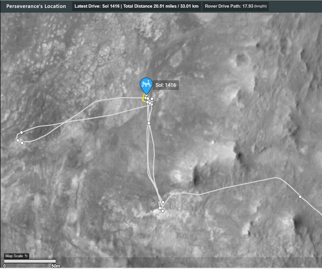
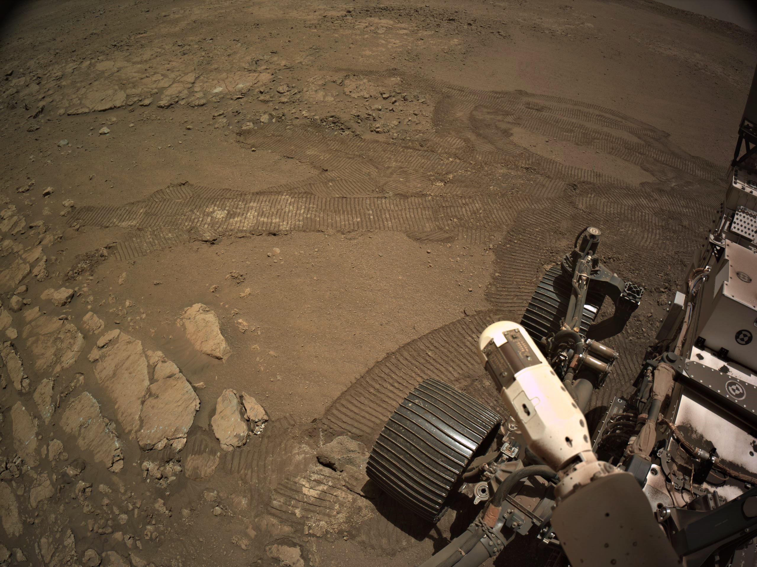
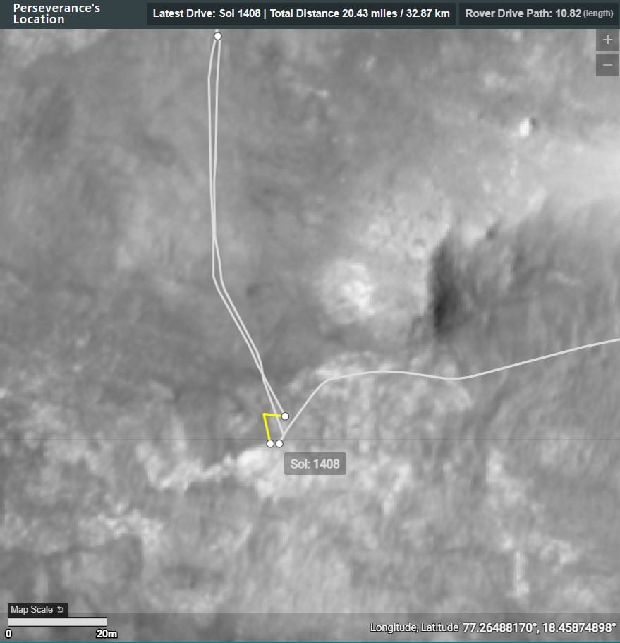
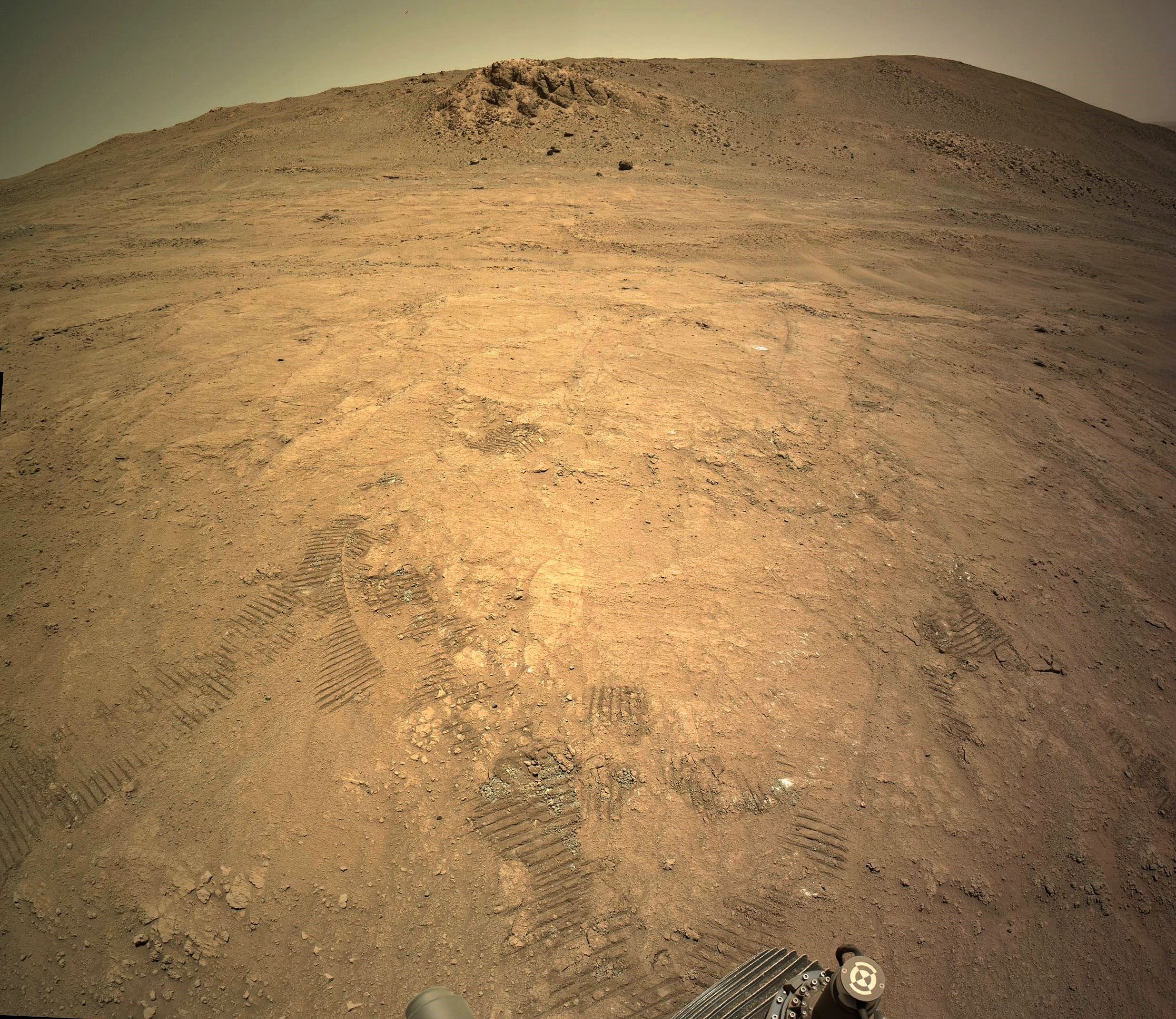
1415 - Drive to another old abrasion (February 12,2025). map and drive details in the post body.
(lemmy.world)

11
18
1415 - The walkabout continues with a long drive back to a previous coring location. Drive data and a map in the comments
(lemmy.world)
Post-drive tiled NavCam looking at the old coring site - NASA/JPL-Caltech
12
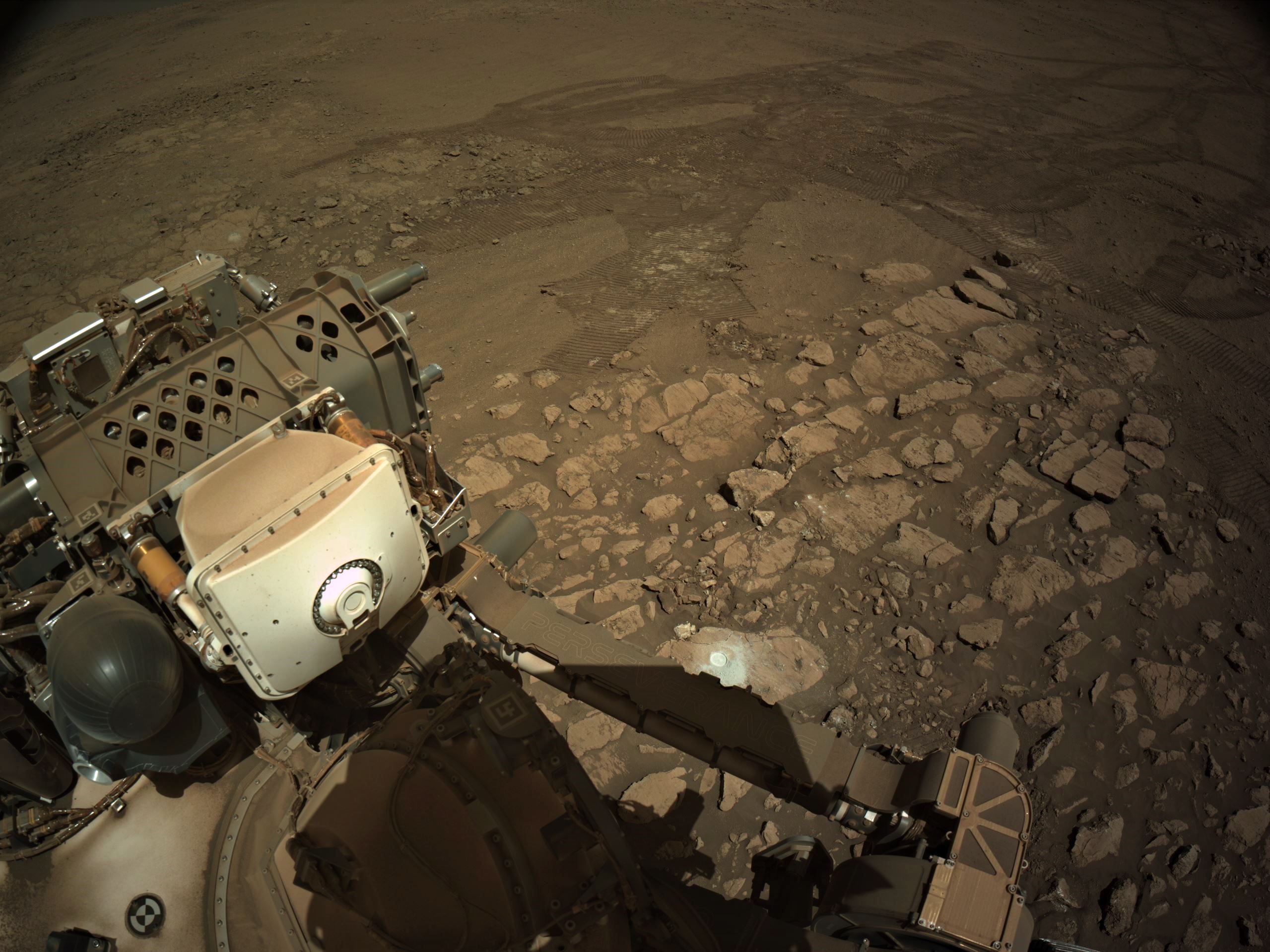
Sol 1413 (February 10, 2025) Images are from one of Perseverance's Navigation cameras (NavCam) and its Sample Caching System Camera (CacheCam) at site 68.142. Credits: NASA/JPL-Caltech.
13
Finnaly got around to mapping again. Quick and dirty, as usual, so I'll apologise for any mistakes.

14
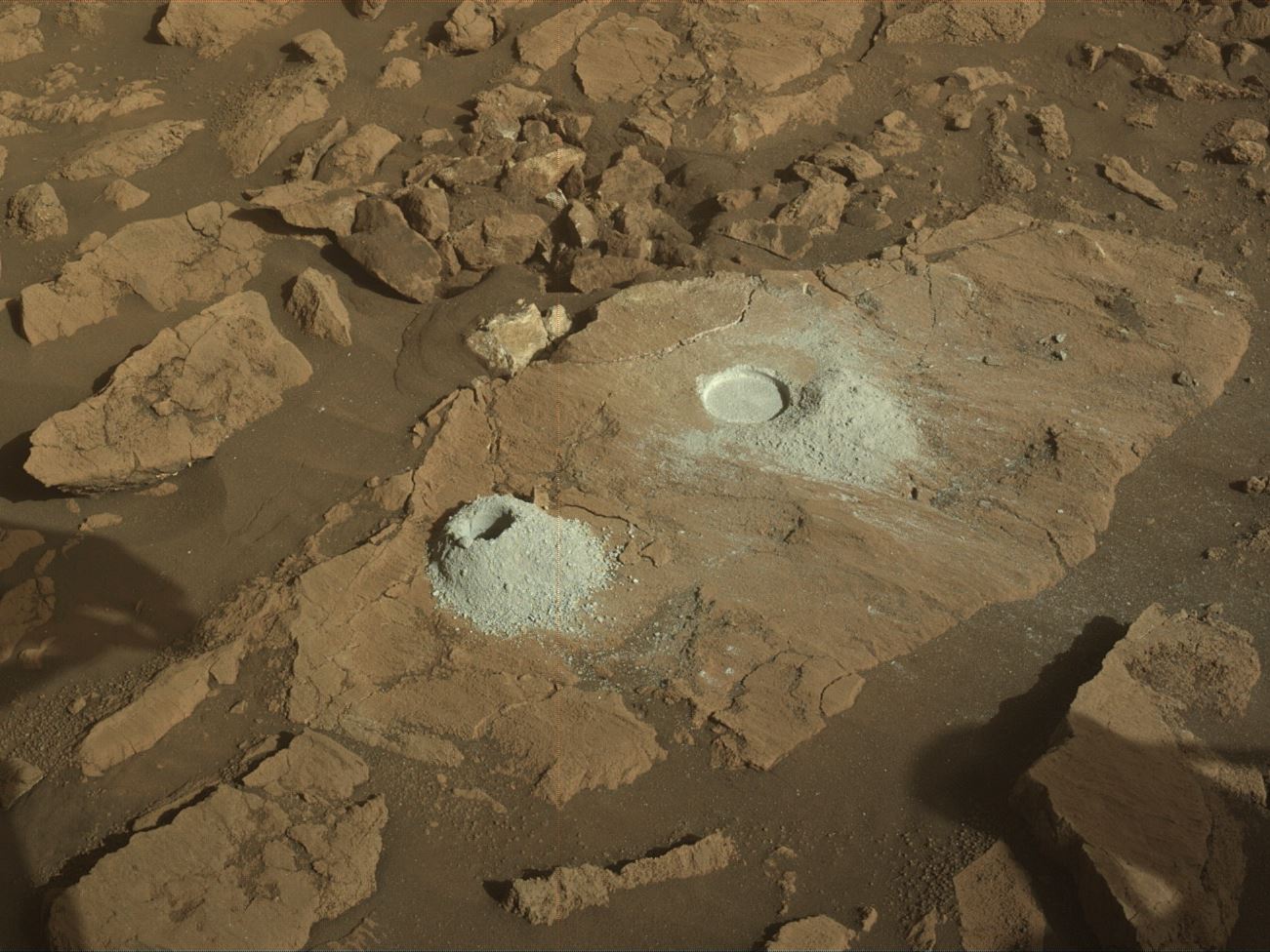
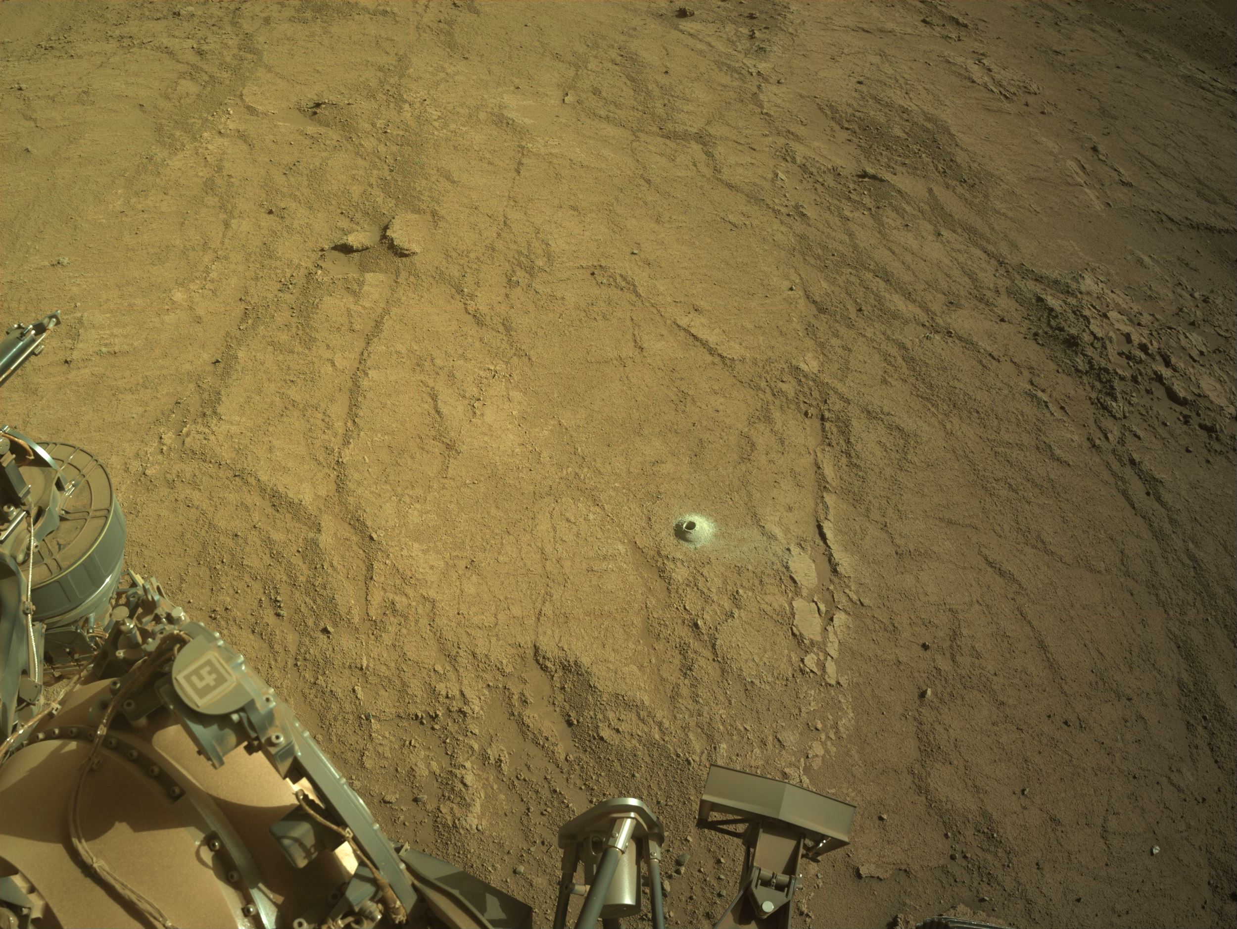
Post drive NavCam from site 68.142 (sol 1141 - February 7, 2025) We can see the older abrasion and the tailings from the drilled hole. I'm assuming they have likely moved to try again to obtain a rock core from this location. Map and full drive details in the comments. Credits: NASA/JPL-Caltech/UofA.
16
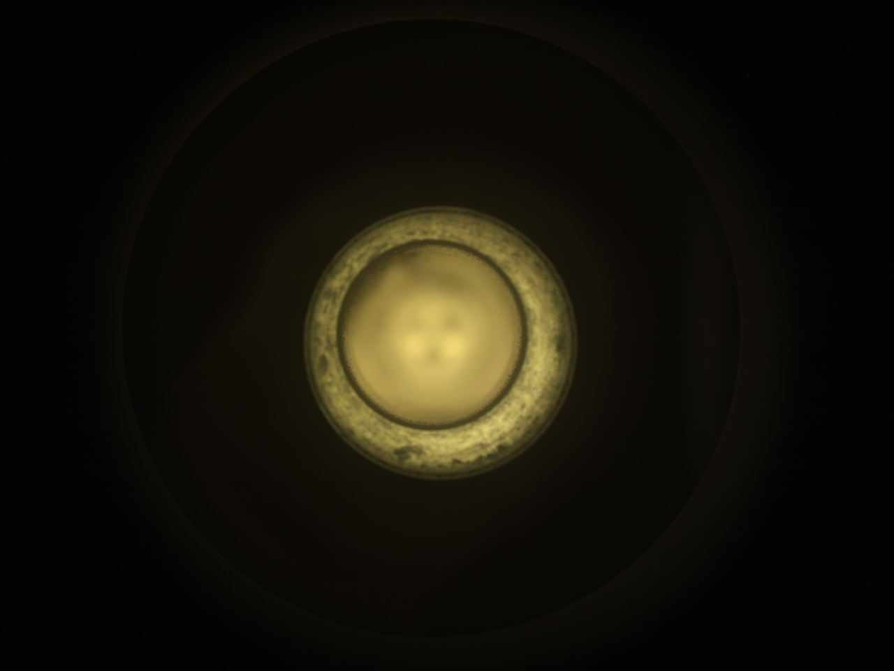
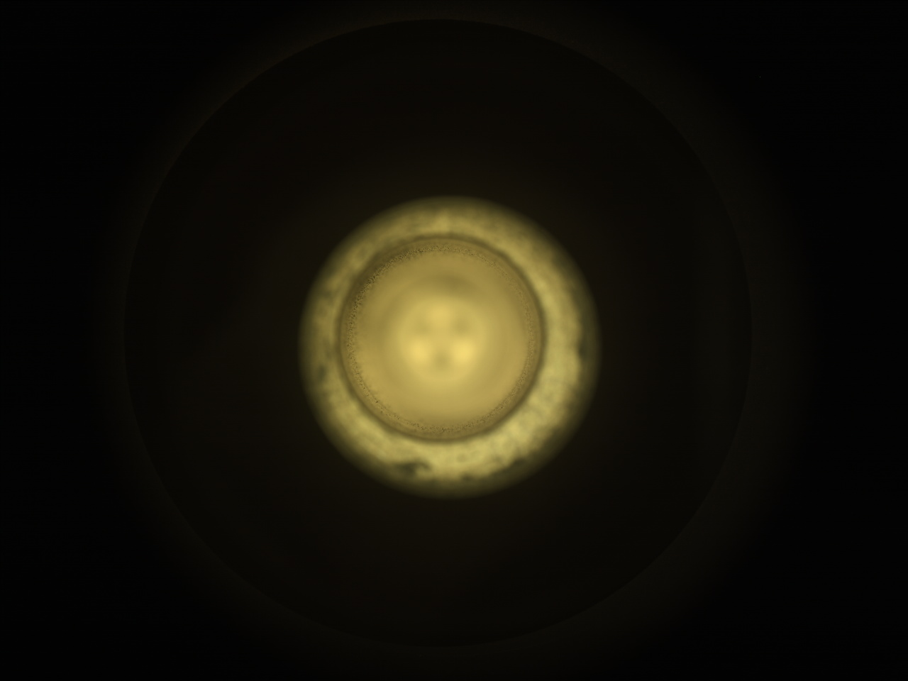
1409 - CacheCam image (Feb 05, 2025) Credits: NASA/JPL-Caltech
17
The above image is a mosaic processed from 12 post-drive tiles acquired by the front left HazCam.
Map
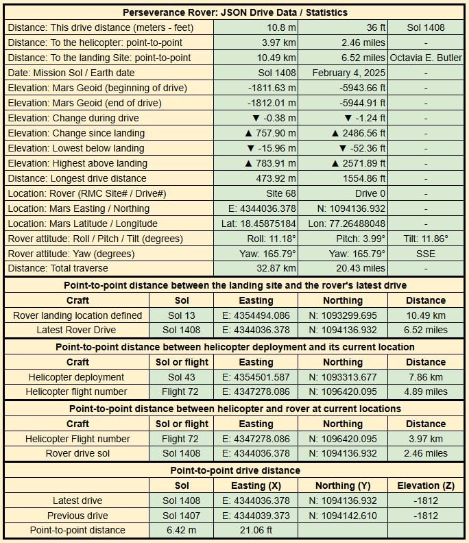
Drive Data
18
19
Post-drive NavCam assembled from 6 overlapping tiles.
The rover is less than 10 meters from a site it first visited about 6 weeks ago (after it left the crater on sol 1359)
Credits: NASA/JPL-Caltech
20
21
Credits: NASA/JPL-Caltech
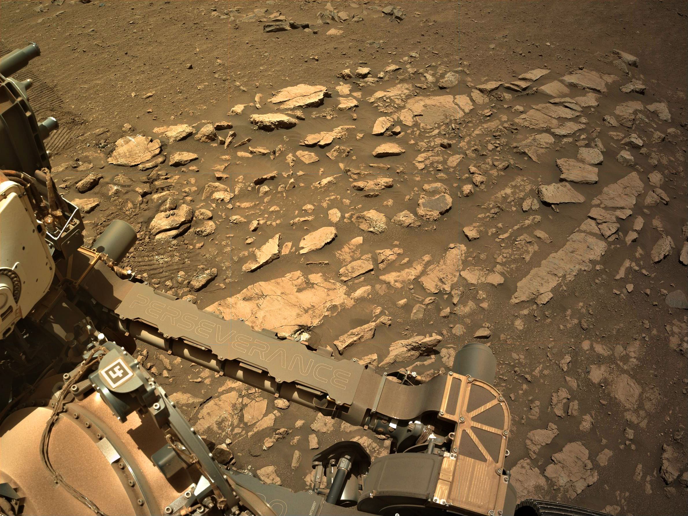
22
This latest abrasion patch is the third we've taken on Witch Hazel Hill, on the exterior rim of Jezero Crater, all within the last month. For comparison:
- Abrasion patch 33, sol 1375 (where Percy subsequently grabbed that crumbly core sample just this week)
- Abrasion patch 34, sol 1395
Percy is getting busy!
23
25
view more: next ›