I want 16:9 version of this for my new Desktop Background.
For the map enthused!
Rules:
post relevant content: interesting, informative, and/or pretty maps
be nice
I want 16:9 version of this for my new Desktop Background.
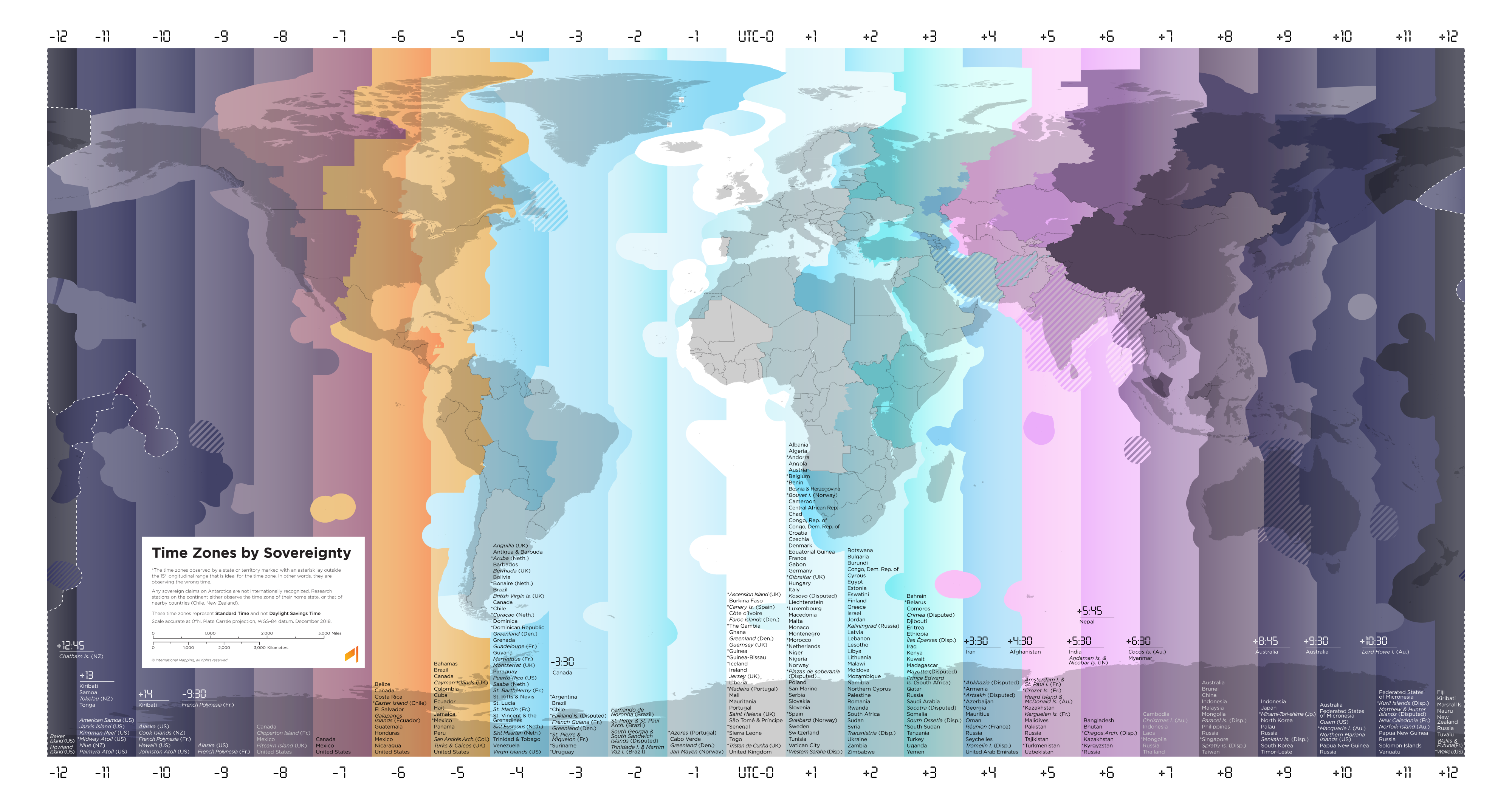
What's this bit in south America about? 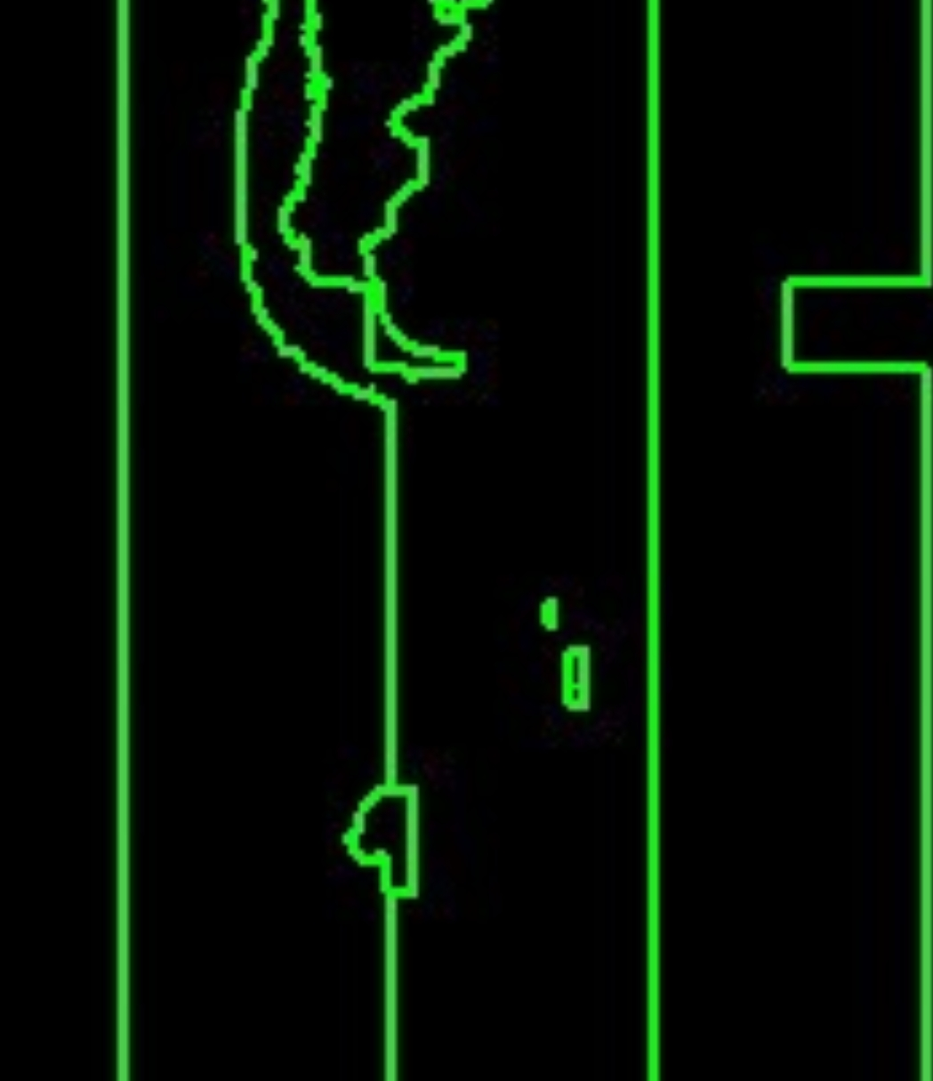
Could be Falkland islands? They're 3 hours behind UTC, but that time zone band it's in would be for -4 Amazon time
Note how you can't easily see the US because we don't try to bend time to our will
Except for the two thirds of the year where you pretend the entire country (apart from Hawai'i and parts of Arizona) is 1300 km (that's 800 miles for those living in the 17th century) east of where it actually is.
edit: closing bracket
Yeah, and there are totally US state borders on this map. Just like in Russia for example.
The only big recognizable country here is China.
I suppose it depends on your definition of "big", but Chile and Argentina are both extremely recognisable in this map. And Greenland is obviously very easy to see, including Danmarkshavn time.
But I think the single country which is the most recognisable (even more than China, which is messed up a little by Mongolia being in the same time zone) might be India, as well as neighbouring Pakistan and Sri Lanka. Afghanistan and Iran are also nearly perfectly shown here, as is Myanmar.
We literally do though lol
This would have been a really cool album cover in the late 90's.
Is this based purely on UTC offsets?
Are there polygons available for the tz database?
Is this based purely on UTC offsets?
I'm not sure how else it would be done?
Are there polygons available for the tz database?
I presume they are, somewhere. But I didn't make this, and the place I found it wasn't the original source either.
If you make me ruler of the world, I promise I will make it one big time zone and no daylight saving time. Some people will have to adjust that 15:00 is the middle of the night, where they live, but after that it's smooth sailing for everyone.
I'd settle for just no daylight saving time, but that would be great.
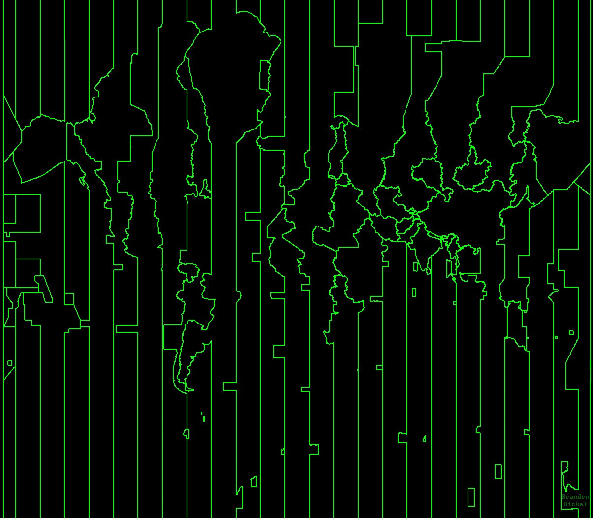
Imagine if the first things aliens received from Earth was something like this. They'd have a really fucked up perception of our landmasses, if they even managed to figure out what the hell this was.
Shout out to Belarus and Venezuela
Can we have timezone names?
Thankfully, down the south the time zones are all simple enough that they're easy to count. So your best option is to find one time zone you can easily recognise (I recommend the big wide China time zone, which is UTC+8) and then count along to whichever one you're trying to find.
@Zagorath This kind of has the same vibe for me as the "Unknown Pleasures" cover art
You might also like this:

which is an unlabelled version of this: